World Map
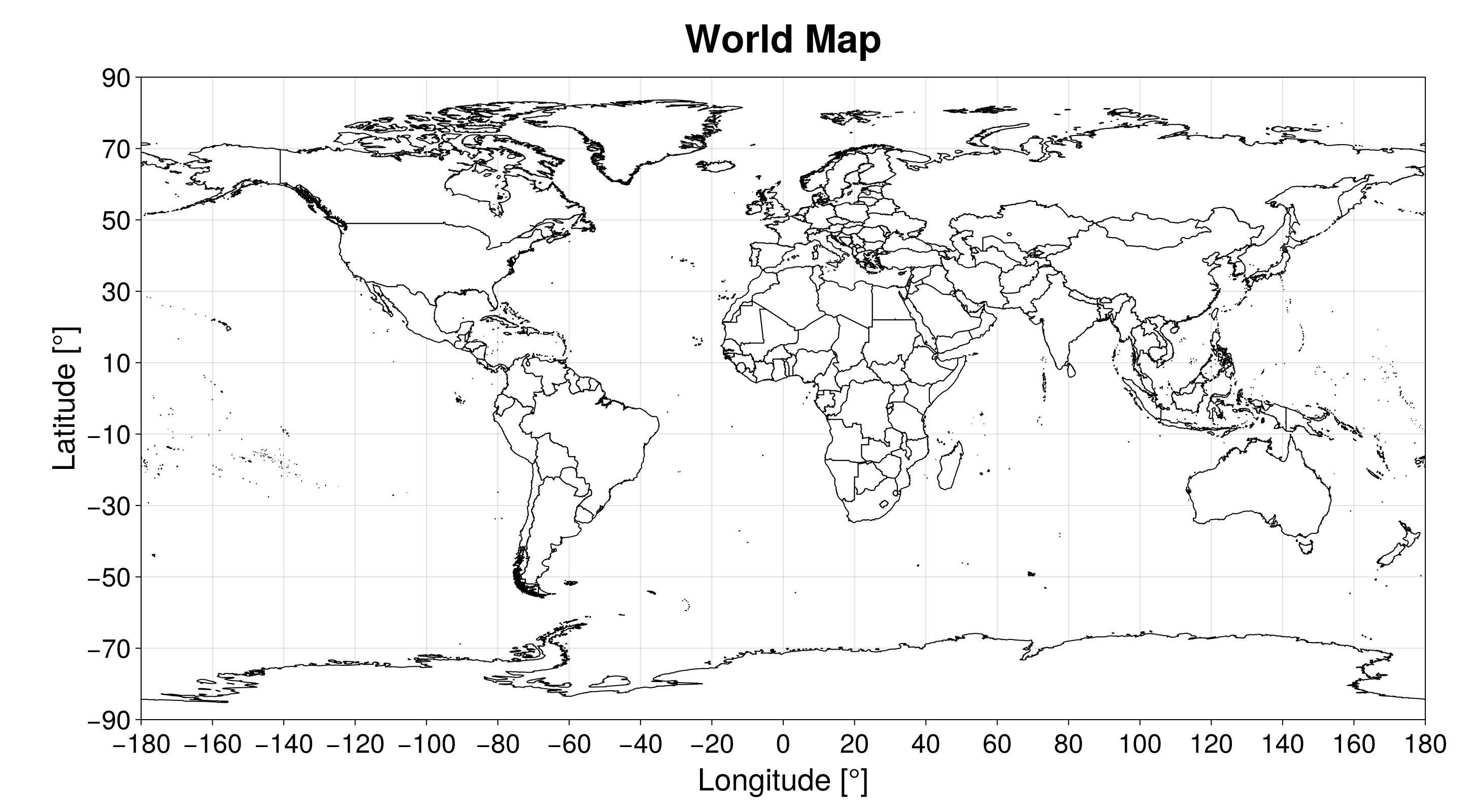
SatelliteAnalysis.jl has a built-in algorithm to plot the World Map provided that the user loaded GeoMakie.jl and one of the Makie.jl backends. This empty plot can be used to add analysis on top of it. We can create it using the function:
plot_world_map(; kwargs...) -> Figure, AxisIt returns a Makie.jl Figure and Axis with the World map. The figure is styled with the theme obtained from the function SatelliteAnalysis.makie_theme, selected by the keyword theme, which can be :light (default) or :dark. All other kwargs... are passed to the function Figure.
This function plots the countries' borders in the created figure using the file with the country polygons fetched with the function fetch_country_polygons. Hence, if this file does not exist, the algorithm tries to download it.
julia> using GeoMakie, CairoMakiejulia> fig, ax = plot_world_map()(Scene(1 children, 0 plots), Makie.Axis (1 plots))julia> figFigure()
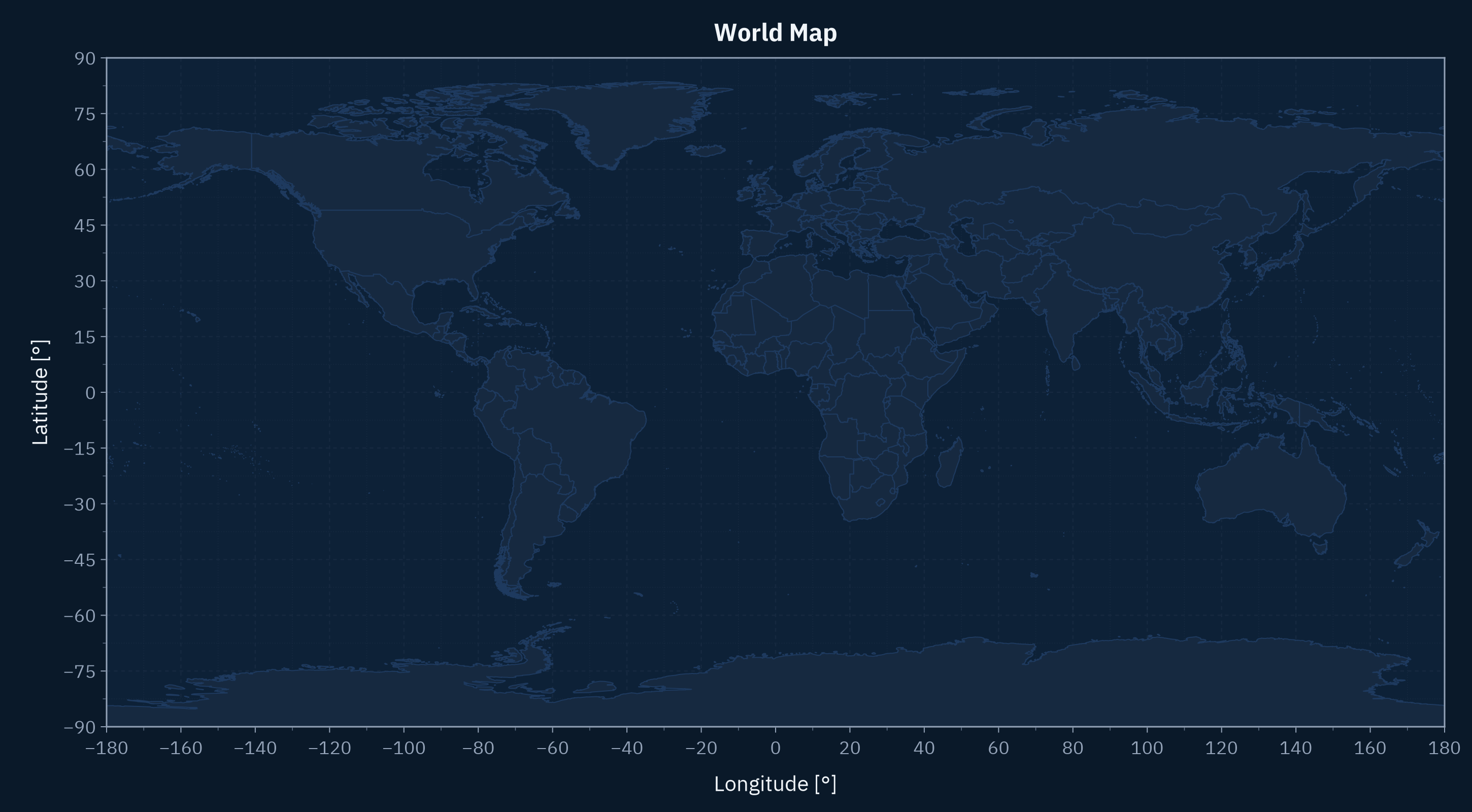
We can also create the World map using the dark theme variant:
fig, ax = plot_world_map(; theme = :dark)